


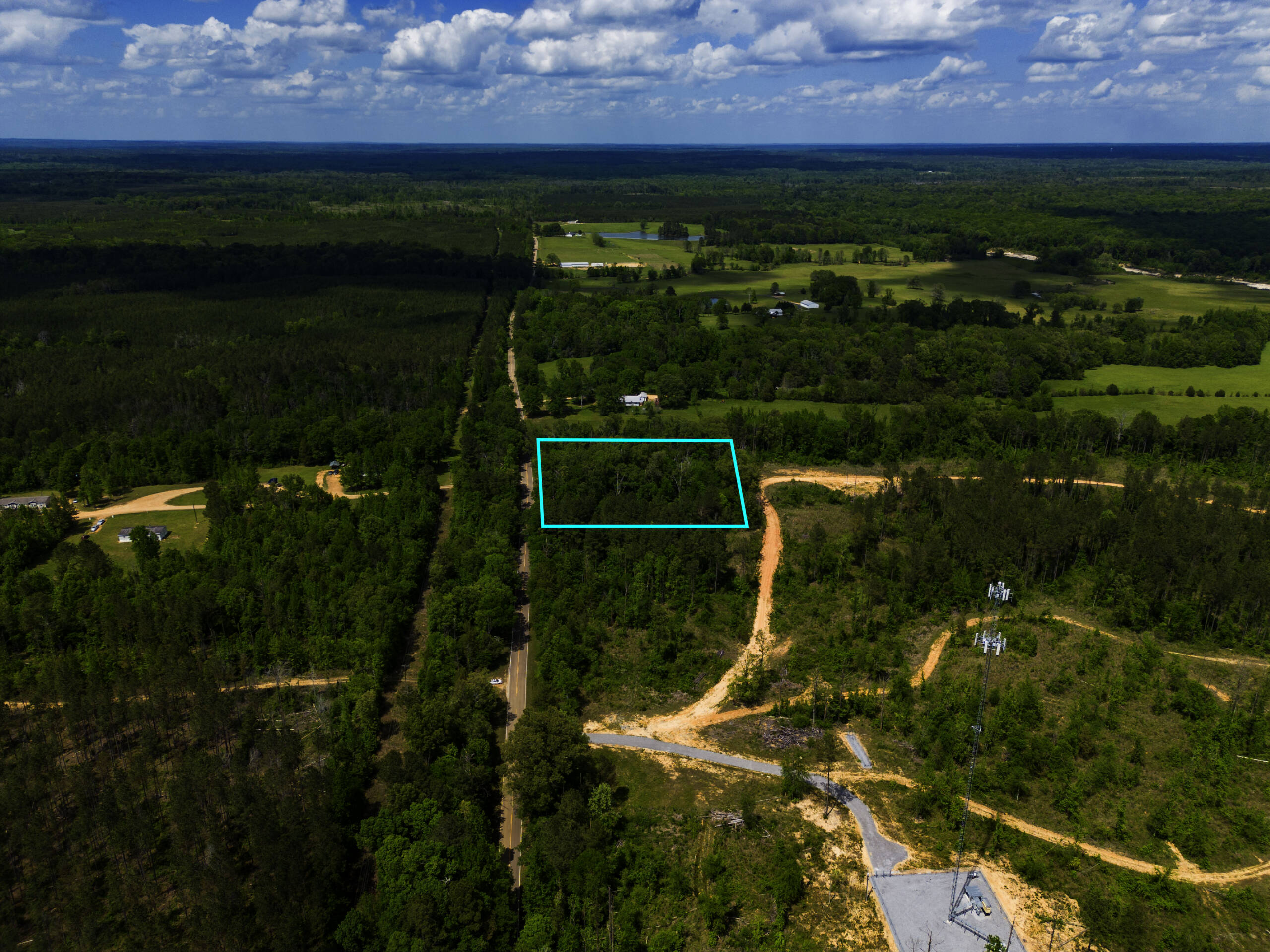
Showcasing Property Boundaries, Road Access, and Surrounding Rural Scenery.
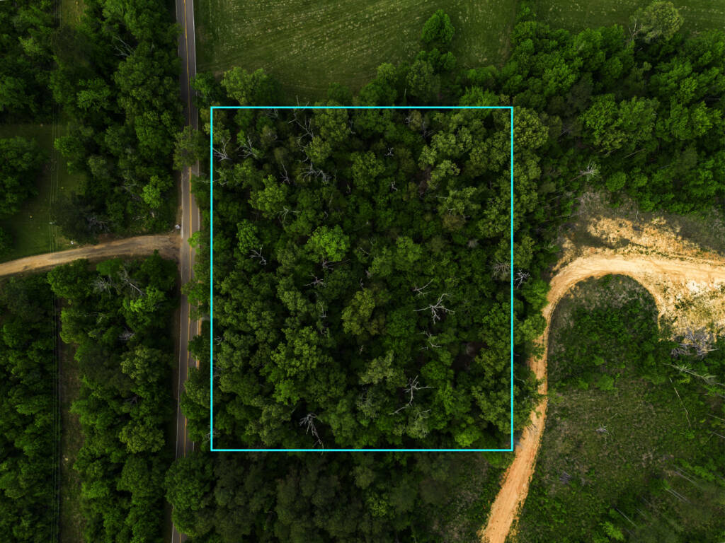
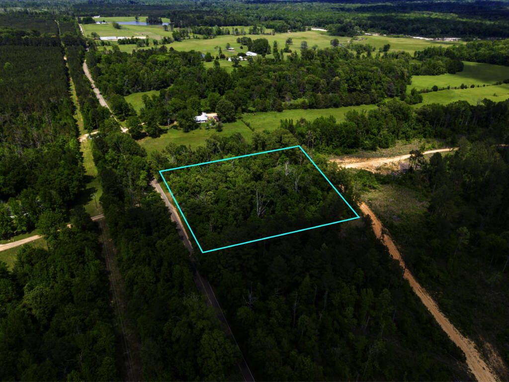
This aerial drone photography project in Hazlehurst, Mississippi for Andrew Fogarty focused on marketing a wooded land listing through professional aerial imagery and property outline photography. Since heavily wooded properties can make boundaries difficult to identify from the ground, aerial views helped clearly show the layout, road access, and surrounding reference points.
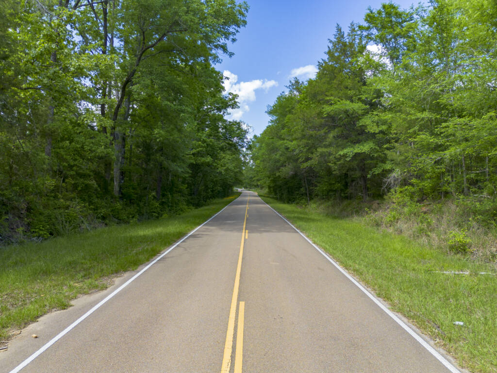
Drone photography highlighted the dense tree coverage, paved road frontage, and rural scenery while property outline overlays helped define the approximate lot boundaries. Wide aerial views also gave buyers better context of the surrounding land and nearby development.
Note: The images and videos featured in our portfolio galleries are just a few highlights from the full media packages delivered to each client.